The map above is provided to minimize download time. To see the full topographical version of the map, click on the thumbnail below.
Click on the thumbnails below to view full size photographs.
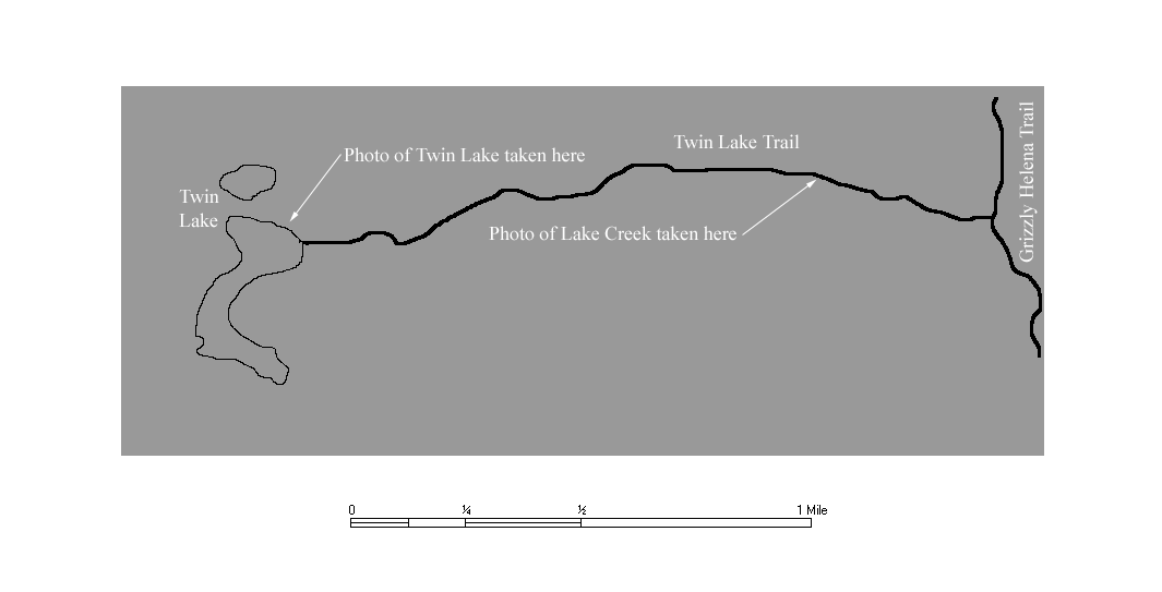
Lake Creek
This is Lake Creek as it cascades down the side of Flattop Mountain
Twin Lake
This is Twin Lake near where the trail reaches the lake.