|
||||||||||||||||||||||||||||||||||||||||||||||||
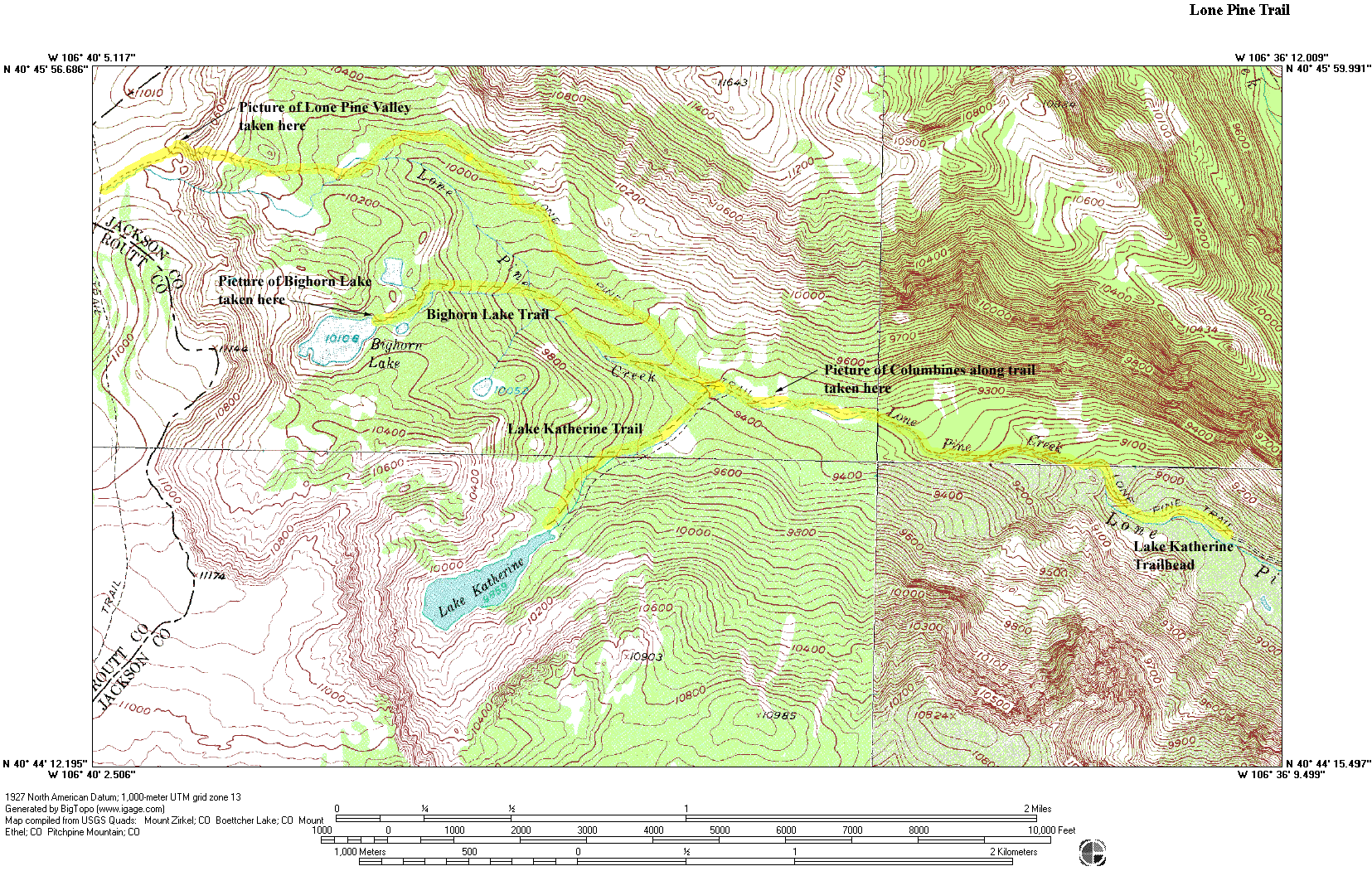
Lone Pine Trail 1129, Lake Katherine Trail 1157, and Bighorn Lake Trail 1040 |
||||||||||||||||||||||||||||||||||||||||||||||||
 |
||||||||||||||||||||||||||||||||||||||||||||||||
|
The map above is provided to minimize download time. To see the full topographical version of the map, click on the thumbnail below.
Click on the thumbnails below to view full size photographs.
|
||||||||||||||||||||||||||||||||||||||||||||||||